Adventurer.
Advisor.
Author.
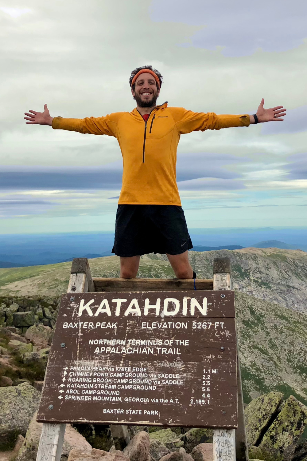
Michael Neiman is an avid backpacker who turned a 2,190-mile Appalachian Trail hike into a story worth sharing. Join the winding path from trail journals to published pages and everything between.
The Books.
Explore Michael’s work, inspired by passion for hiking and backpacking. Hello My Name is Sharkbait tells the hilariously true story of grit from Georgia to Maine, while Platinum-Blazing the Appalachian Trail acts as a guidebook to the best meals, stops, and comfort along the way.


