
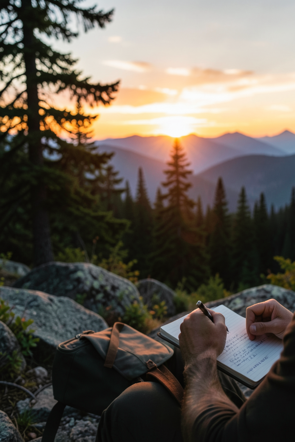
Where the goal of Section 1 was to ease-in-and-find-my-bearings, the focus of Section 2 is to fine-tune-and-find-my-trail-legs. This portion of the trail knocks out most of North Carolina and gives thru-hikers a chance to get comfortable and confident with their hiking style before things get really tough. After all, Section 3 brings on the hugely majestic yet highly elevated Great Smoky Mountains. So before we hit the highest peaks of the trail, first let’s enjoy what NC has to offer:
- Start of Section: GA/NC Border (mile 78.5)
- End of Section: Fontana Dam (mile 164.7)
- Total Miles: 86.2
- Total Days: 6
- Avg daily miles: 14.5
- Town Stops: 2
General Strategy for Section 2
- Prior to Section 2, and coming fully refreshed from my first resupply at Dick’s Creek Gap, a scheduled Nero Day takes me only 4.5 miles to Plumochard Shelter. This half-day is scheduled to take care of any gear issues (repair, replace, etc.) and re-align on expectations. The Nero day will be welcome, but starting tomorrow the mileage really ramps up.
- Crossing the GA-NC border, the trail continues uphill consistently for 12.2 miles to the day’s break at Standing Indian Shelter. Then over Standing Indian Mountain’s 5,500 elevation before finishing the next day’s 16.2 miles at Long Branch Shelter. Finally 18.3 miles of up-and-down (may as well get used to it now) through Rock Gap, Winding Stair Gap, and Wayah Gap before climbing up again to Wayah Bald and Wayah Bald Shelter. Note to future self, “gap” is code for steep-down-and-up.
- Whew! I really hope my trail legs have kicked in by now because those 3 days are going to surely test my endurance and stamina for long grueling days!
- The next 16.5 miles are supposed to be a beautiful trek along the spine of the Appalachian Mountains between 4,000 and 5,000 feet high, before heading down to the next gap. And along this downward trek is The Jumpoff, a notable 1,000-foot cliff face on the side of Mount Kephart with spectacular views of Charlie’s Bunion and Mount Guyot from atop a very steep precipice. I’m eager to see this.
- That majestic day ends down below 2,000 feet at the Nantahala Outdoor Center, or the NOC. The NOC is a popular trail stop with food, gear, lodging, showers and more. There is a trail festival here in late April that I’ll miss, but a warm bed is still planned at the Base Camp hostel. The next morning I’ll resupply and move along.
- As is the case with most town stops, we exit the NOC with a 5-mile uphill climb to the top of Swim and Cheoah Balds. The rest of the day looks relatively calm before ending at Brown Fork Gap Shelter … except for the infamous Jacob’s Ladder. A 0.6-mile hike ascending 600 feet straight up without switchbacks.
- Section 2 ends with a descent to Fontana Dam. Fontana Dam is the highest dam East of the Rocky Mountains, and a definite stop for another nice warm bed, a maildrop resupply box, and a chance for some very expensive hot food. I plan to stay at the nicer Fontana Village Resort, but there are many lodging options here as it is a major destination for all kinds of Appalachian adventurers.
Section 2 looks to continue the excitement from Section 1, which is hopefully enough motivation for this 2nd week in the woods. But if the scenery alone doesn’t do it, a good plan and a determined spirit will keep those legs moving regardless. Hello Neiman!
Leave a Reply