
Day 105. I woke up early this morning, eager to check the weather and evaluate options for the day. The latest update said it would rain starting around 11am, with chance for thunderstorms from 2pm through the night. Not the most encouraging news when you have Vermont’s 4,235 foot Killington Peak ahead of you … climbing the tallest mountain for miles is a brilliant idea in lightning, right?
But luck was on my side (at first), and the sky was clear and blue all morning. In fact, I thought maybe it would stay that way all day. No, I wasn’t that lucky. Around 1:15, just as I reached Governor Clement Shelter at Killington’s base, it started to rain. I hopped in the shelter to rest and listen to the sky. My cell service was out, so without radar updates, I needed to rely on my ears and what’s between them to evaluate the threat of danger ahead.
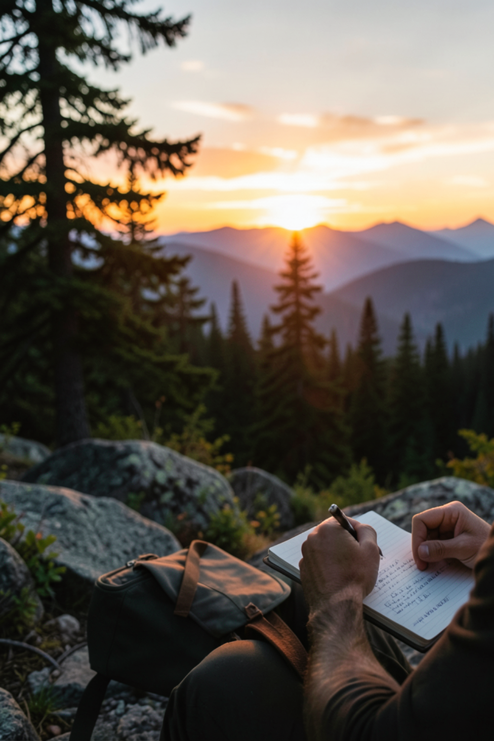
Side note, just before this break, I passed a sign signifying I was 500 miles from Katahdin. That was my happy moment for the day (photo above).
I gave it 30 minutes, watching, listening and contemplating. During that time, I didn’t hear any thunder, and saw 4 other hikers pass through en route to the summit. I decided staying any longer was silly and cowardly, and ventured upward after the others. The rain stopped as soon as I stepped out, and the next 5 miles to the top were pleasant. Easy peasy, right?
At the top, I got greedy.
I was now 20 miles into the day, and although an old and ugly shelter stood at the top of Killington Peak … I felt like I could make it the 10 miles further to town if I wanted. It was primarily downhill, so I estimated I could get there by 7pm … and truth be told, I still didn’t trust the possibility of thunderstorms up this high.
After 105 days, I should know better. It’s never just downhill. And it’s never simple when you want it to be. The first 7 miles were ok, but slow. The trail on this side of the peak had received more rain and was slick and dangerous to descent. At the bottom, things turned from bad to worse.
Now it was 6pm, and although I had only 4 miles left, I had to go back up another mountain and down the other side to get there. And, of course, it started raining again. This time hard … and now I heard the rolling thunder. As I stood at the Highway 4 road crossing, I contemplated whether to hitch to town from here, or go back in the woods. I didn’t want to have to come back here tomorrow, to earn those miles the right way, so I stubbornly and bitterly walked on. Oops.
Mother Nature decided this would be her moment to break me. She was going all in on this 4 mile stretch, and she had it in her to take me down.
Over the next 2 hours, the rain got heavier and heavier, immediately liquifying the muddy ground and layering an oily slick on the path of rocks. You see, the pristine Long Trail I was used to was now gone, as it split from the AT on this hill and took its nice groomed path northwesterly with it. I was back to huge rocks, uncleared fallen trees, and unnecessarily steep walkways.
And, as if this wasn’t enough, then the mosquitoes joined the fun. Somehow unscathed by the cold, wind and rain, these insects with a death-wish began their kamikaze attack on my calves, the only exposed limbs of flesh in the downpour. Bug spray was pointless, as it would wash off in seconds, so I settled into a rhythm of half-walking-half-crouching in order to slap/scrape the vile creatures off my legs with each step. I am convinced that this suicidal strain of skeeter was created in a lab somewhere here in Vermont, clearly having been enhanced with the DNA of rabid Mountain Lions.
Eventually, and unhappily, I made it to my destination. It was after 8pm and darkness had set in, but I finally reached the Mountain Meadows Lodge on the edge of town. This beautiful resort is on a lake, right on the trail, and happy to host hikers when not reserved for weddings or other weekend retreats. The owner met me, and served me some wonderful leftovers from last weekend’s wedding reception (which I devoured in seconds), then showed me to my room upstairs. This small venue has a couple dozen rooms above the attractions of the main floor, and I’m hoping to explore the place more tomorrow. For now, I’m too tired to move my feet another step, and will let myself fall asleep to the loud cracks of thunder outside and the gentle whimper of my crying inside.
Hello Neiman (Sharkbait)
- Start Mile: 1676.4
- Start Time: 07:15
- End Mile: 1705.8
- End Time: 20:10
- Miles Hiked: 29.4
- Miles to Go: 485.1
- Lodging: Mountain Meadows Lodge
Leave a Reply